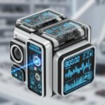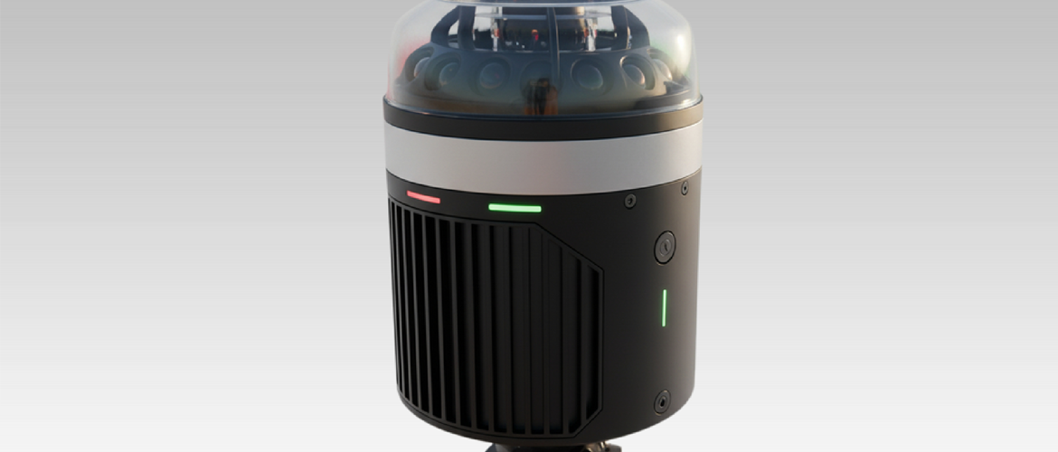
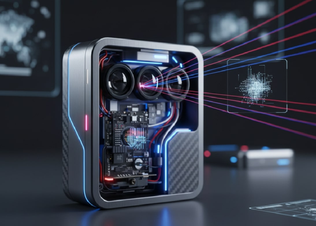
LIDAR System
LIDAR (Light Detection and Ranging) is a cutting-edge sensing technology that uses laser beams to measure distances with extreme accuracy. By capturing detailed 3D data of objects and environments, LIDAR systems enable smarter navigation, mapping, and automation across multiple industries.
Why Choose LIDAR System?
Unmatched Precision: Delivers highly accurate 3D data for mapping and object detection.
Real-Time Insights: Provides instant environmental awareness for quick decision-making.
Versatile Applications: From autonomous vehicles to agriculture, LIDAR adapts to diverse industries.
Reliable in Any Condition: Works effectively in low light, darkness, and varying weather.
Future-Ready Technology: Seamlessly integrates with AI, IoT, and smart automation systems.
Enhanced Safety: Detects obstacles, reduces risks, and improves operational security.
Proven Durability: Built to withstand tough outdoor and industrial environments.
Key Features of LIDAR Systems:
- High Accuracy
- 3D Mapping & Imaging
- Long-Range Detection
- All-Weather Reliability
- Fast Data Processing
- Durability
Applications
Autonomous Vehicles: Safe navigation and obstacle detection.
Robotics & Automation: Smart movement and environment sensing.
Surveying & Mapping: Accurate terrain, forestry, and infrastructure mapping.
Smart Cities: Traffic monitoring and urban planning.
Agriculture: Precision farming with crop and field analysis.
Security & Defense: Perimeter monitoring and surveillance.
Gallery